
Pacific Coast Highway: San Francisco to Los Angeles
≈ 720 km driving in total · ~10 h · ideal in 8 days · 7 stops
America's most famous drive: Highway 1 pinned between the Santa Lucia mountains and the Pacific, through Big Sur's bridges and fog, with sea otters, elephant seals and In-N-Out along the way.
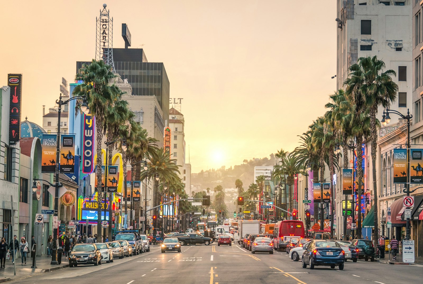
Photo: Unsplash
Free · no sign-up · drag the stops, see drive times, find places to stay & charge
The route at a glance
- San Francisco — 1 night
- Santa Cruz — stop en route
- Monterey — 1 night
- Big Sur — 1 night
- San Luis Obispo — 1 night
- Santa Barbara — 1 night
- Los Angeles — 2 nights
The stops
- 1
San Francisco
Golden Gate viewpoint at Marin Headlands, then south past Half Moon Bay onto the 1.
- 2
Santa Cruz
Boardwalk nostalgia and surfers at Steamer Lane — a classic California lunch stop.
- 3
Monterey
The aquarium is world-class; Cannery Row is Steinbeck with gift shops. Fuel up here for Big Sur.
- 4
Big Sur
Bixby Bridge, McWay Falls, Pfeiffer Beach's purple sand — and nowhere better to overspend on a clifftop dinner.
- 5
San Luis Obispo
College-town ease after the wilderness, with Hearst Castle and the elephant seal beach just up the coast behind you.
- 6
Santa Barbara
The 'American Riviera': white mission, red roofs, and the Funk Zone's wine tasting rooms a walk from the pier.
- 7
Los Angeles
Roll down the PCH through Malibu into Santa Monica — the pier is the official end of the road.
Good to know
Drive north→south to be on the ocean side of the road. Check Caltrans for Highway 1 status — Big Sur slides close sections most winters. Bixby Bridge and McWay Falls pull-outs fill mid-morning; Big Sur has little fuel and less phone signal, so top up in Monterey. June gloom is real — September–October is the clear-sky season.
Just after the distance and drive time? Los Angeles to San Francisco by car answers that one directly — ≈ 615 km, ~6 h without the detours.
Pacific Coast Highway: San Francisco to Los Angeles — FAQ
- How long does the Pacific Coast Highway take?
- 8 days is comfortable — about 10 hours behind the wheel across 7 stops, ≈ 720 km of driving in total.
- How far is Los Angeles from San Francisco?
- San Francisco to Los Angeles is ≈ 615 km (382 miles) driving direct. This itinerary covers ≈ 720 km because it runs via Santa Cruz, Monterey, Big Sur and more.
- What are the best stops between San Francisco and Los Angeles?
- Santa Cruz, Monterey, Big Sur, San Luis Obispo, Santa Barbara — each one is on the route below. Open the trip on the map to add, drop or reorder them.
- Where should you stay on the Pacific Coast Highway?
- The itinerary sleeps in San Francisco, Monterey, Big Sur, San Luis Obispo, Santa Barbara, Los Angeles. Open it on the map to see places to stay along the route and what the nights will cost.
More road trips
Wondering what it adds up to? See what this and every other route costs — stays, food, getting around and fuel, priced by region and season before you book anything.
Or start from a blank map and build your own — Stopful shows drive times between stops, splits long days, finds hotels and EV chargers along the route, estimates what the trip will cost before you book, and tracks the budget as you plan.